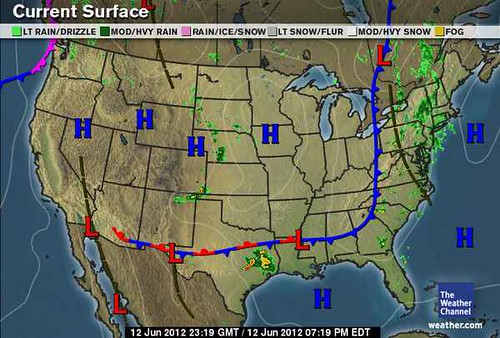
I was reminded of this forecast the other day (June 20) when I read a comment on Accuweather.com about how crickets have invaded the Austin, Texas, area due to warm temperatures and recent rains. The combination of warmth and water has created near-perfect conditions for the hatching of cricket eggs. The report mentioned how that since the start of 2012, Austin has received 1.5 times its normal amount of rainfall and in May alone it received 200 percent of its normal rainfall for the month.
The maps below are from the U.S. Drought Monitor. The map on the left shows current drought conditions for June 2012, while the map on the right are drought conditions for Texas 8 months before during October 2011.

In an excellent article by Daniel Ramirez posted on June 21, 2012 and entitled In Drought, Texas Is No Longer "Exceptional" For Now, he explains that no portion of the state is in exceptional drought compared to last October. Despite the encouraging news, conventional forecasters see problems ahead as they're expecting more dry weather in the near future. Ramirez concludes his article with some good news: conventional meteorologists foresee a developing El Niño by late summer. This usually bodes well for Texas bringing normal to above normal rainfall. This could be what I'm seeing and commented on in my November post with Neptune's presence over Texas in the summer season chart.
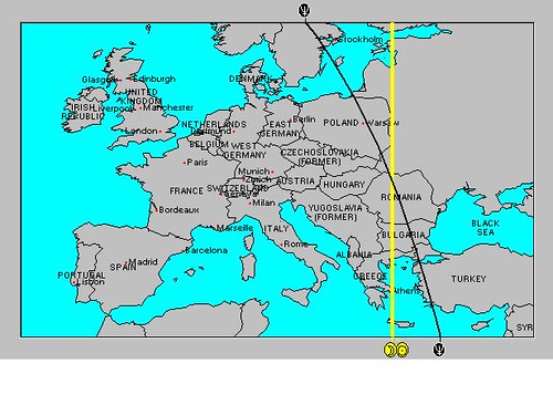
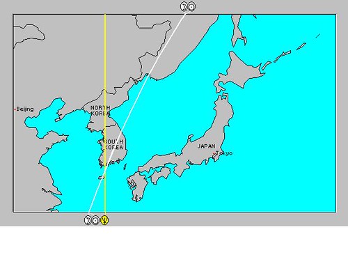
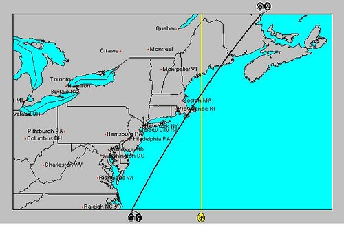
Long-range Effects of the May 20, 2012 Solar Eclipse Part 2
Long-range effects of the May 20, 2012 Solar Eclipse
July 14-19, 2012 Hurricane Season Outlook
June 22-30, 2012 Long-range Weather Forecast
Hurricane Season 2011 Forecast Results
Hurricane Risk-Management
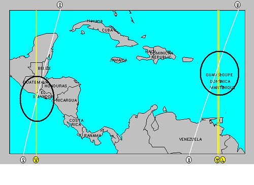
Texas Summer 2012
New Weather Alternative Website
Overview of UK Winter 2012-13
The Winters of 2011-14
Fulfilled Long-range Forecasts for Hurricane Season 2010
Introduction to the Weather Alternative
The DaVinci Code--Fact or Fiction?