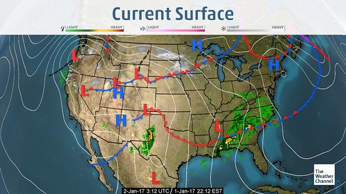
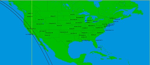
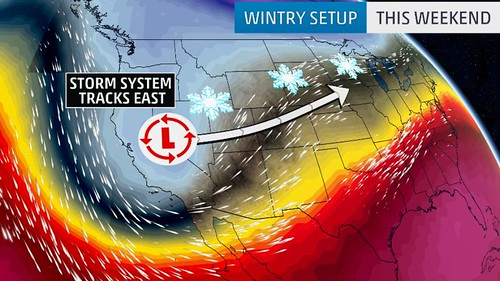
Here's what happened.
The National Weather Service report for March 24-26 carried these warnings:
Severe weather possible for the Southern/Central High Plains and Lower Mississippi Valley through Friday...
Prime conditions for the spread of wildfires across the Southern/Central High Plains...
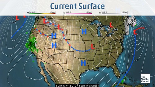
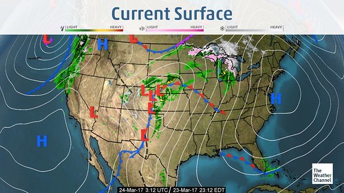
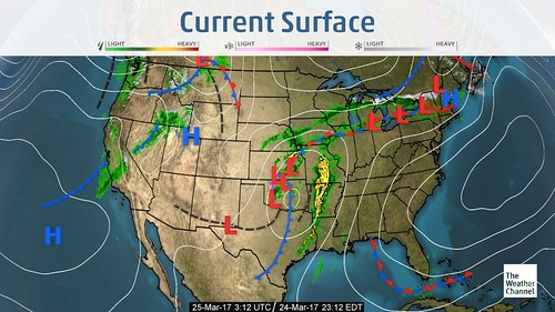
The following Weather Channel map for March 23rd shows the approaching storm system.
Here's another snippet from the NWS for March 25:
Rain, heavy at times, and thunderstorms are expected as a result along and just ahead of the cold front over the next couple of days as it advances eastward. Some of these thunderstorms could be
strong to severe. The Storm Prediction Center has outlined a small region that stretches across east TX and the Ark-LA-Tex region as being in an Enhanced Risk for severe weather this evening and
overnight, with conditions favorable for producing damaging winds and isolated tornadoes.
The next Weather Channel map shows the storms progression eastward on the 24th.
Links to Other Long-range Weather Forecasts and Forecast Results
Hurricane Hermine, TD8, and the August 24-28, 2016 Forecast Results
Hurricane Dolores Fulfills Long-range Weather Forecast
Hurricane Season 2015 Long-range Weather Predictions
Tropical Cyclone Hadi
Hurricane Erick Fulfills Long-range Forecast
Tropical Storm Andrea Fulfills Long-range Forecast!
Timing the Relief for Drought-Stricken U.S. Plains
Testing Astrometeorology Part 2
Hurricane Sandy Fulfills Long-range Weather Prediction!
Testing Astrometeorology Part 1
Hurricane Season 2011 Forecast Results
Hurricane Risk-Management
New Weather Alternative Website
Fulfilled Long-range Forecasts for Hurricane Season 2010
Introduction to the Weather Alternative
Is Morality Objective or Subjective?
